





An AUsome LifeThe good New England life, at our own pace.
Explore all
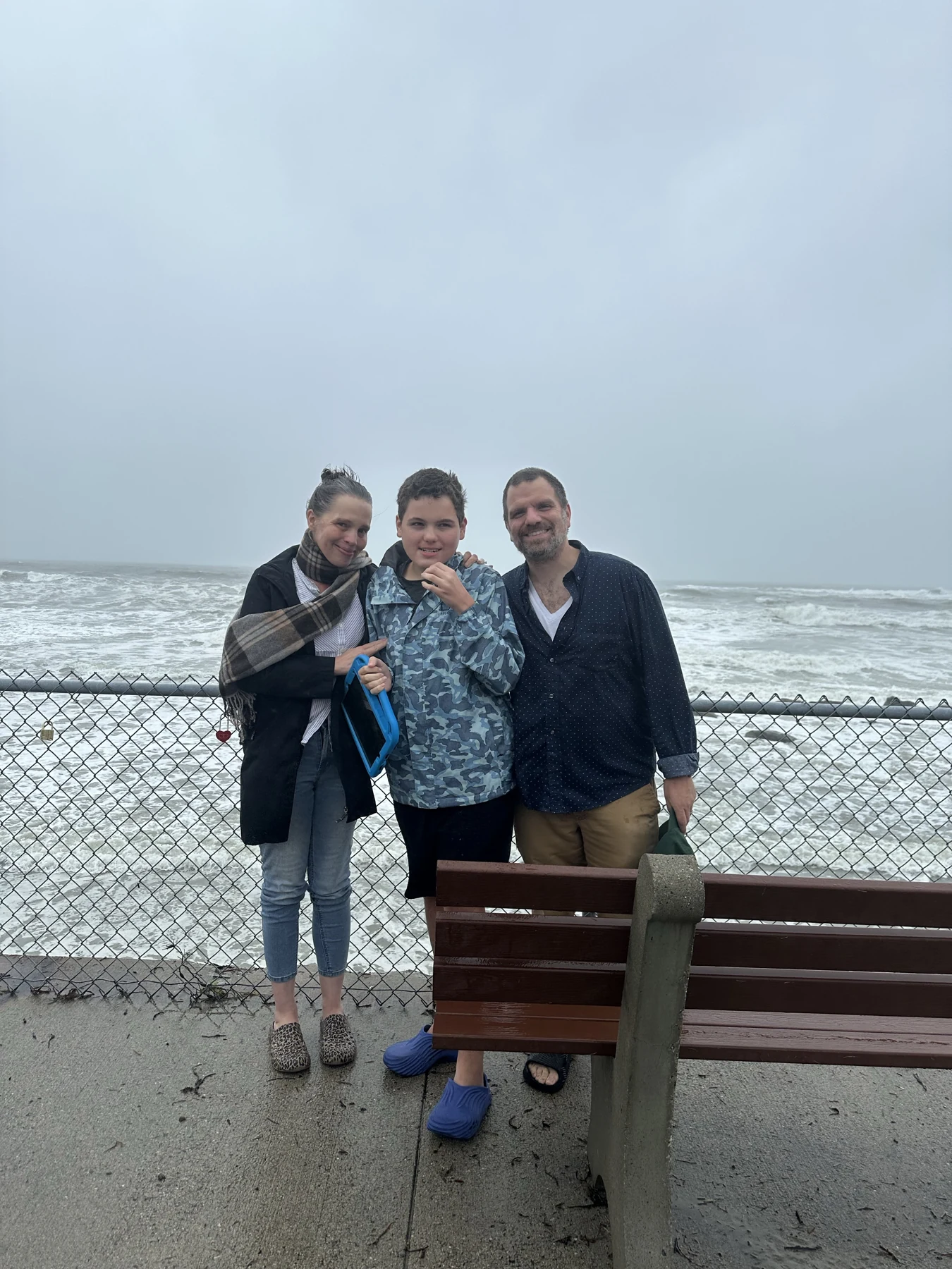
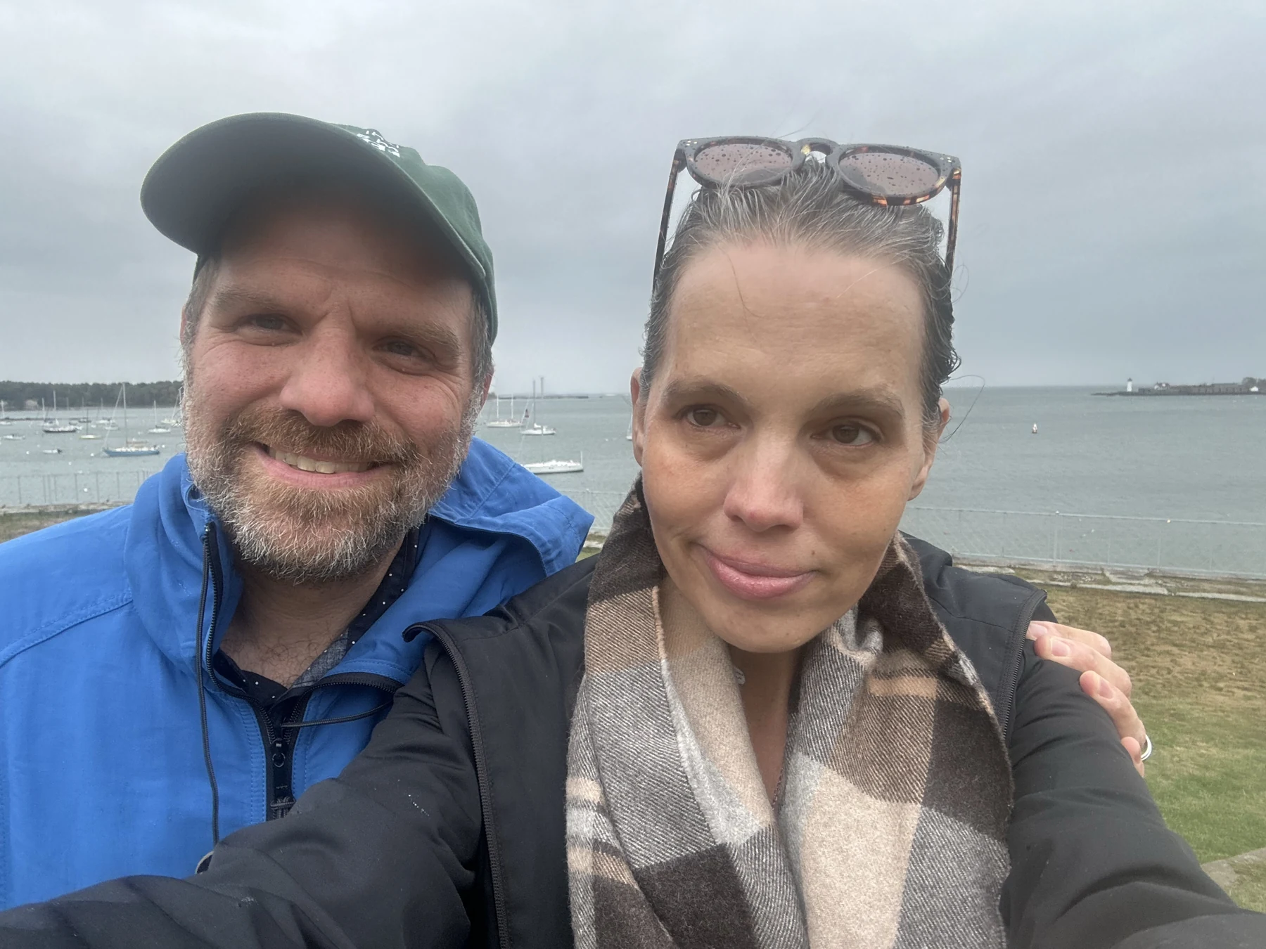
Two family members photographed beside the harbor at Fort McClary
Fort McClary waterfront · from our family camera roll.

A family field note · Kittery Point, Maine

Lunch,
with Maine around it.

Kittery Food Mart, a harbor view at Fort McClary, and a plan that keeps the meal and the terrain separate.

In this guide

Kittery Food Mart · a takeout idea

Begin with the food stop.

This pairing starts with food in Kittery and leaves room for Fort McClary. Choose something available and familiar, check the weather, then decide whether the harbor is the right place to take it.

Kittery Food Mart lists its address as 2 Shapleigh Road. Preview the current menu together and call about kitchen hours. Do not build the day around a remembered price or a particular item being available.

The food-and-fort sequence is a suggestion for another outing. Our photograph documents the waterfront visit, not a particular meal.


Original decorative watercolor of a takeaway bag, folded green cardigan and house keys
A sweater for the harbor, and a way to change the plan.

Fort McClary · Kittery Point

The view is its own visit.

The family waterfront photograph leaves plenty of harbor in view. That is worth keeping in the plan, even when exploring a historic structure is not the right choice.

Maine’s access guide separates the bay views from the fort and blockhouse. The fort has rough steps and steep paths; its trails are listed as not accessible. The picnic area is across Route 103, so the two sides deserve separate planning.

The harbor view and the fort
are different undertakings.

Keep a sweater ready, confirm the route you need and stay back from edges. If the weather or terrain does not suit the day, lunch can happen somewhere else.

Picture cards for this story

Pictures to take with you

A few words for this story.

Choose the pictures that are familiar and useful. Change a label, save a card, or print this little set.

picnic basket
sandwich
water
all done

Keep the person’s usual communication available. These are independent picture communication cards, not official PECS® materials. Generic place illustrations do not show a venue’s actual layout.

Two stops · two separate arrival plans

Kittery & the fort

Choose a stop. Find the access notes for your day.

Original decorative watercolor of blank folded paper, a compass and an oak leaf
Get your bearings before you set out.
Kittery lunch and Fort McClary: a geographic schematic The left address inset identifies Kittery Food Mart at 2 Shapleigh Road in Kittery. It is a separate stop and has no shared scale or orientation with the right-hand fort map. The right-hand map is north-up: the picnic area is inland, north of Pepperrell Road, Route 103; Fort Road leads into the historic site south of Pepperrell Road. The fort stands above the Piscataqua River and harbor. Four broad anchors match the access notes: food stop, picnic area, fort and blockhouse, and bay-view area. The state describes rough steps and steep paths at the fort and blockhouse, while bay views have a different access rating. No verified accessible route, road crossing, precise parking space, restroom location or entrance is shown. Original simplified shapes are not to scale. Original geographic schematic drawn 2026-10-04, using public factual relationships rather than copied map artwork. Food stop address: https://www.thekitteryfoodmart.com/menu.html . Fort geography checked against Maine Coastal Public Access Guide, May 2026, page 11: https://www.maine.gov/moca/sites/maine.gov.moca/files/maine-coastal-public-access-guide-1south-berwick-to-york_may2026_v2.pdf . Historic feature identities checked against https://www.maine.gov/dacf/parks/docs/maps/fortmclary.pdf . Access descriptions: https://apps.web.maine.gov/cgi-bin/online/doc/parksearch/access.pl?park_id=38 . No official artwork, aerial imagery, traced outlines, logos or source-map pixels are embedded. This is an orientation aid, not a navigation map or access audit. KITTERY & THE HARBOR Lunch in town. A separate stop at Fort McClary. KITTERY · FOOD STOP Kittery Food Mart 2 Shapleigh Road Menu, kitchen hours and entrance details: call 207-439-0666. Address inset only No shared scale or orientation with the fort map. Picnic area Across Route 103 Fort & blockhouse Rough steps · steep paths Bay views Check today’s access PEPPERRELL RD · ROUTE 103 FORT RD CROCKETT NECK RD Piscataqua River / harbor N Broad place anchors · no verified step-free route or crossing shown Two separate schematics · not to scale · confirm seasonal facilities before travelling

Original geographic schematics based on official Maine sources. The food-stop address inset is separate from the north-up fort map; they have no shared scale or orientation. Road lines supply context, not driving or walking directions or verified accessible routes.

Open the official Fort McClary map

Kittery Point, Maine · a simple plan

Picture the visit.

The view is its own visit.

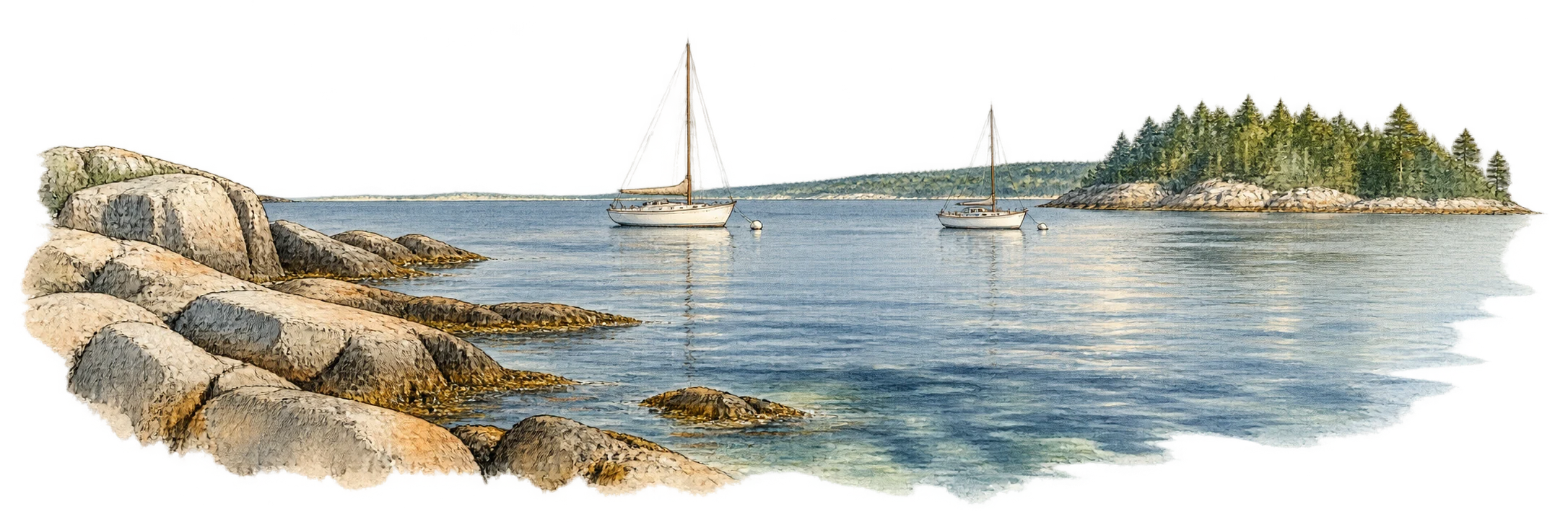
Original atmospheric watercolor of Maine harbor water, granite blocks and distant moored boats
Leave time simply to look at the water.
  1. Choose lunch.

    Confirm the kitchen is open and choose food your group wants.

  2. Check the harbor plan.

    Read the park notices and access guide; decide which part suits the day.

  3. Keep a weather backup.

    Eat somewhere suitable and save the fort if conditions are wrong.

Check the day. The park’s published season is Memorial Day–Columbus Day, 10 a.m. to sunset unless posted otherwise. Off-season walk-in access does not include open facilities. Fort McClary’s current park page

Make your own picture plan
At a glance & planning your visit
Food stop
Kittery Food Mart, 2 Shapleigh Road, Kittery. Call 207-439-0666.
Fort stop
Fort McClary, Route 103, Kittery Point. In-season contact: 207-439-2845.

Choose the meal and route separately.

The food stop and the fort are separate destinations. A picnic, a bay view and the fort interior each have different practical requirements.

Use the map’s individual notes for the access details and their limits.

The details that make the visit possible

Know before you go.

Open just what you need.
Getting to the two stops

Kittery Food Mart lists 2 Shapleigh Road, Kittery. Fort McClary is on Route 103 in Kittery Point. The state describes the fort as about 2½ miles from US Route 1 and the Maine Turnpike via the rotary.

Use the current official map for arrival. The food-stop inset on our schematic is an address reference, not a route between the places.

Official Fort McClary map
Fort terrain & bay views

The state classifies the fort, blockhouse and trails as not accessible, describing rough steps and steep paths. It lists bay views as generally accessible and identifies accessible parking.

Ask which current approach suits your group and equipment. Neither that classification nor our broad pin establishes an exact space, route or edge-safe viewpoint.

State access guide
Picnic area & restroom caveat

The picnic area, shelter and restrooms are across the road from the fort. The state lists accessible picnic tables and shelter but qualifies the restroom as “Restroom at Picnic Area somewhat accessible.”

Ask what that means for the person’s needs. No changing equipment, restroom entrance or safe step-free road crossing is verified here.

Season, gates & day-use fees

The published season runs from Memorial Day through Columbus Day, daily from 10 a.m. to sunset unless otherwise posted. Off-season walk-in access continues during those hours while facilities close.

Check day-use fees and the required payment method before travelling. The listed season is not a live confirmation that a gate or building is operating.

State day-use fee information
Lunch & a change of plan

Confirm kitchen hours at 207-439-0666. Bring water, napkins and any familiar utensils the meal needs, and keep communication available.

Check wind and rain before making a picnic the plan. Pack out rubbish and follow posted restrictions near the historic structures. Save the fort for another day if the route is wrong.

Current food-stop menu
Photographs & illustration credits

The waterfront family photograph is our own. The blockhouse illustration adapts Doug Kerr’s July 2011 photograph. The adaptation, with interpreted ink and watercolor, is licensed CC BY-SA 2.0.

The lunch, cardigan and harbor vignettes are original editorial illustrations. The harbor scene is atmospheric, not a verified place to stand or a current facility record.

Official sources checked October 4, 2026. Confirm current operation and the arrangements your visit depends on. Family photographs, credited venue illustrations and original editorial vignettes are kept distinct. The original map simplifies published geography; it does not certify accessible routes.

More places to explore